|
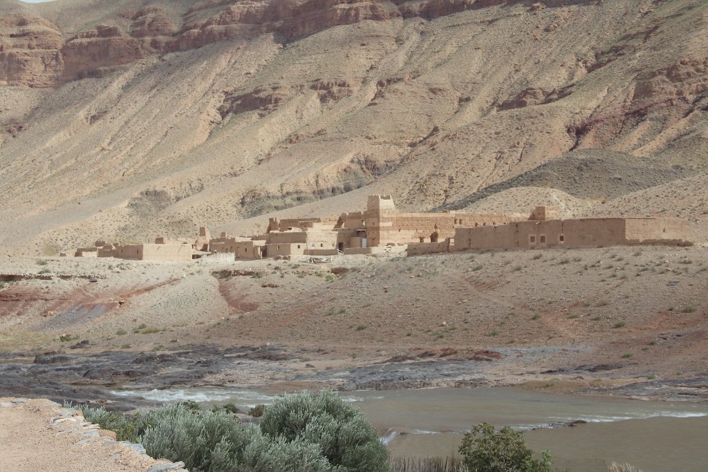 |
| The kasbah of Aouili | |
| Latitude: N 32°49'36,33" | Longitude: W 4°34'19,58" | Altitude: 1131 metres | Location: Aouli | City: Midelt | State/Province: Meknès-Tafilalet | Country: Marokko | Copyright: Ron Harkink | See map | |
| Total images: 23 | Help | |
|
|
|
| The kasbah of Aouili | |
| Latitude: N 32°49'36,33" | Longitude: W 4°34'19,58" | Altitude: 1131 metres | Location: Aouli | City: Midelt | State/Province: Meknès-Tafilalet | Country: Marokko | Copyright: Ron Harkink | See map | |
| Total images: 23 | Help | |